Hand-drawn history • Boston, Massachusetts
Boston’s history, mapped.
Explore the streets, shorelines, neighborhoods, people, and turning points that shaped Boston through richly researched map prints designed to reward a closer look.
- 7
- Downtown eras
- 15
- Neighborhood editions
- 1630
- Story begins
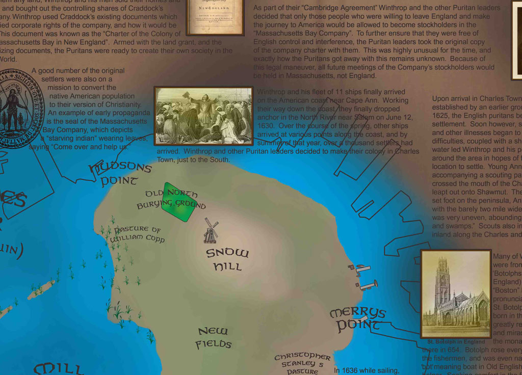 BOSTON
1630
A city redrawn by time
See Boston as a changing landscape — not just a list of dates.
Shorelines moved. Hills were cut down. Railways, roads, parks, industries, and entire neighborhoods altered the shape of the city. Historical Boston brings those geographic changes together in one map collection.
Downtown Boston Through History
Seven pivotal snapshots.
Move chronologically from the narrow seventeenth-century peninsula to the city reshaped by the Big Dig.
Boston at the founding of the colony: the early peninsula, harbor, Great Spring, Beacon Hill, and the first decades of settlement.
Downtown Through History • II1690A growing colonial Boston with an emerging local identity, expanding streets and wharves, and stories ranging from commerce to duels and fraud.
Downtown Through History • III1776Revolutionary Boston: patriot activity, British fortifications, the siege, and the geography of a city at the center of independence.
Downtown Through History • IV1865A city transformed by fill, railroads, annexation, abolitionism, immigration, literature, and the Civil War.
Downtown Through History • V1914Post–Civil War Boston rebuilt after fire, expanding rail terminals and parks while politics, invention, and modernization reshape downtown.
Downtown Through History • VI1964Postwar Boston confronts decline and renewal as expressways, redevelopment, public works, and planning decisions dramatically alter the city.
Downtown Through History • VII2010The modern city: skyscrapers, waterfront redevelopment, the replacement of the elevated expressway, the Big Dig, and the Rose Kennedy Greenway.
Neighborhood Atlas
Find your part of Boston.
 Neighborhood Atlas
↗
Neighborhood Atlas
↗
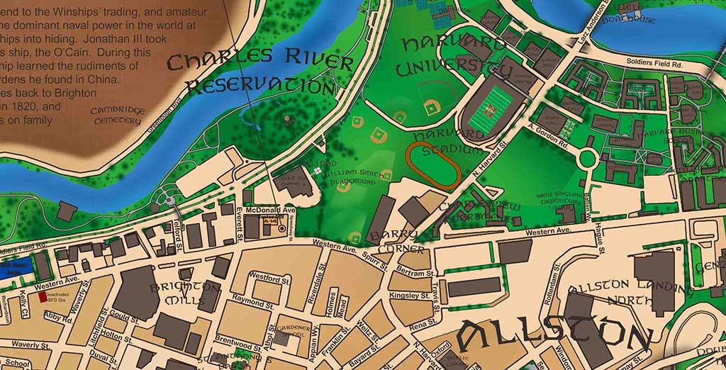
Allston / Brighton 2008
From “Little Cambridge” to cattle country, industry, Allston’s emergence, and the institutions that frame the neighborhood today.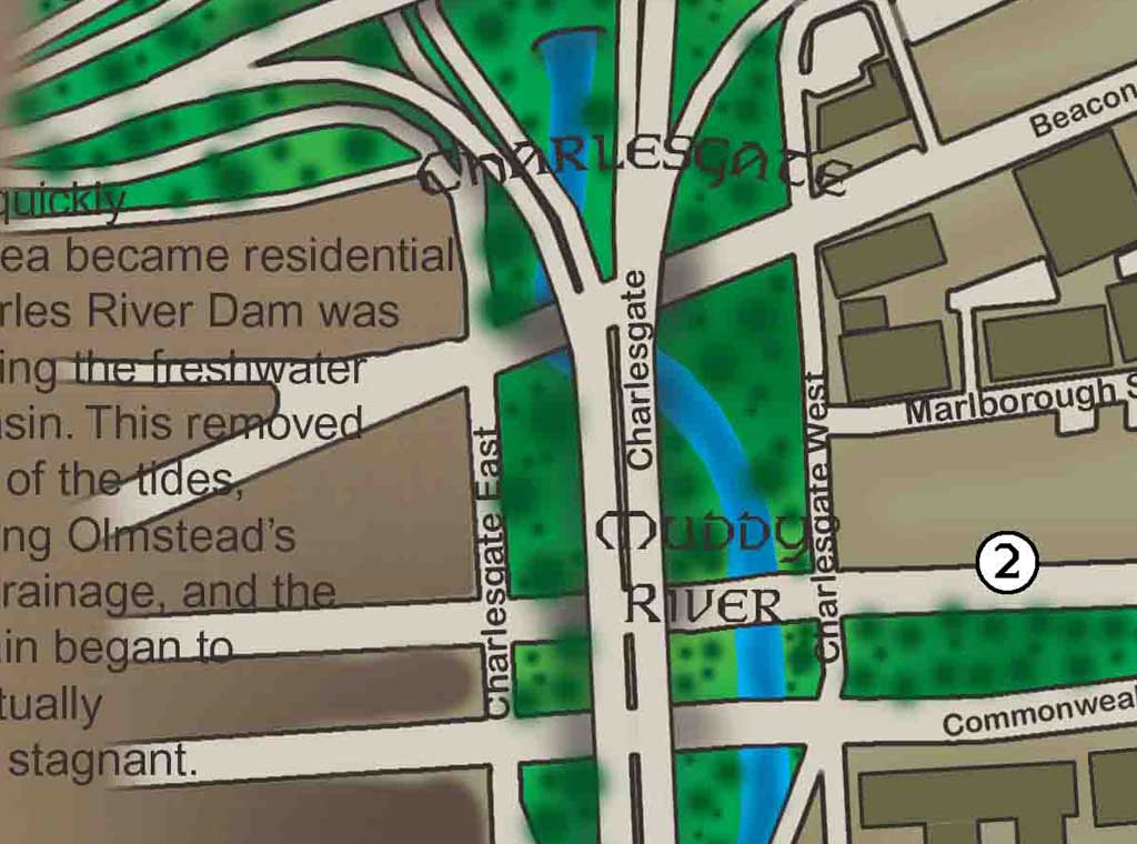 Neighborhood Atlas
↗
Neighborhood Atlas
↗
Back Bay 2008
A look at the bay that became a neighborhood: filling projects, the street grid, parks, institutions, and the evolution of one of Boston’s best-known districts. Neighborhood Atlas
↗
Neighborhood Atlas
↗
Charlestown 2008
Boston’s northernmost neighborhood, from early settlement and Revolution-era events to the Navy Yard and Bunker Hill landscape. Neighborhood Atlas
↗
Neighborhood Atlas
↗
Dorchester
A long north–south portrait of Dorchester: settlement, annexation, farms, mills, Commercial Point, and the many layers of the neighborhood. Historical Plate
↗
Historical Plate
↗
Fenway 1838
Before the Fens: marsh, tidewater, mill infrastructure, early roads, and the undeveloped landscape that would become Fenway and Longwood. Modern Plate
↗
Modern Plate
↗
Fenway 2012
The companion to Fenway 1838, showing the fully developed district, major institutions, parkland, and the landscape changes that created the modern Fens. Neighborhood Atlas
↗
Neighborhood Atlas
↗
Hyde Park
Boston’s last annexed neighborhood, with military, industrial, civic, architectural, and Mother Brook history. Neighborhood Atlas
↗
Neighborhood Atlas
↗
Jamaica Plain
Stony Brook, breweries, the Emerald Necklace, the Southwest Corridor, and the curious origins of Jamaica Plain’s name. Neighborhood Atlas
↗
Neighborhood Atlas
↗
Mattapan 2009
The “Southern Gateway to Boston,” with trolley history, Victorian architecture, local institutions, and a distinct identity within Dorchester. Historical Plate
↗
Historical Plate
↗
Roxbury 1852
The first half of Roxbury’s two-map story: early settlement, farmland, population change, religion, and the beginnings of industrialization.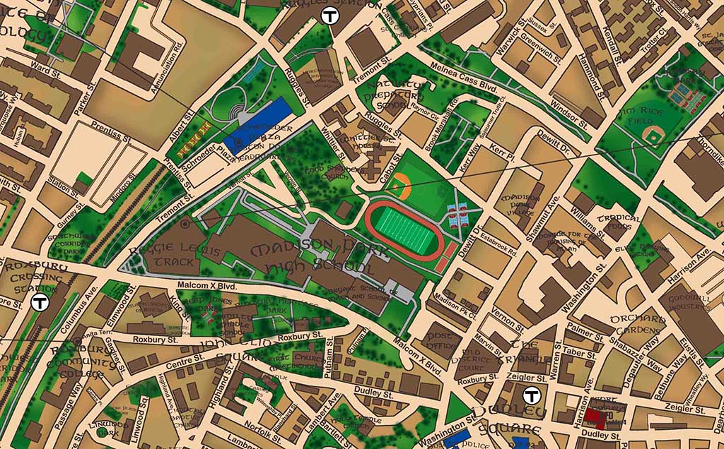 Modern Plate
↗
Modern Plate
↗
Roxbury 2012
The second half of the Roxbury set, following farmland, brooks, ponds, housing, industry, population, and social change into the modern neighborhood. Neighborhood Atlas • Original Edition
↗
Neighborhood Atlas • Original Edition
↗
South Boston
South Boston’s evolution from Dorchester pasture to a distinct Boston community, in the original edition that includes Whitey Bulger. Neighborhood Atlas • Alternate Edition
↗
Neighborhood Atlas • Alternate Edition
↗
South Boston
The same South Boston historical narrative in the alternate edition produced without the Whitey Bulger reference. Historical Plate
↗
Historical Plate
↗
West Roxbury 1884
A rural West Roxbury with Revolutionary fortifications, Brook Farm, Civil War mustering grounds, and a strong identity separate from Roxbury. Modern Plate
↗
Modern Plate
↗