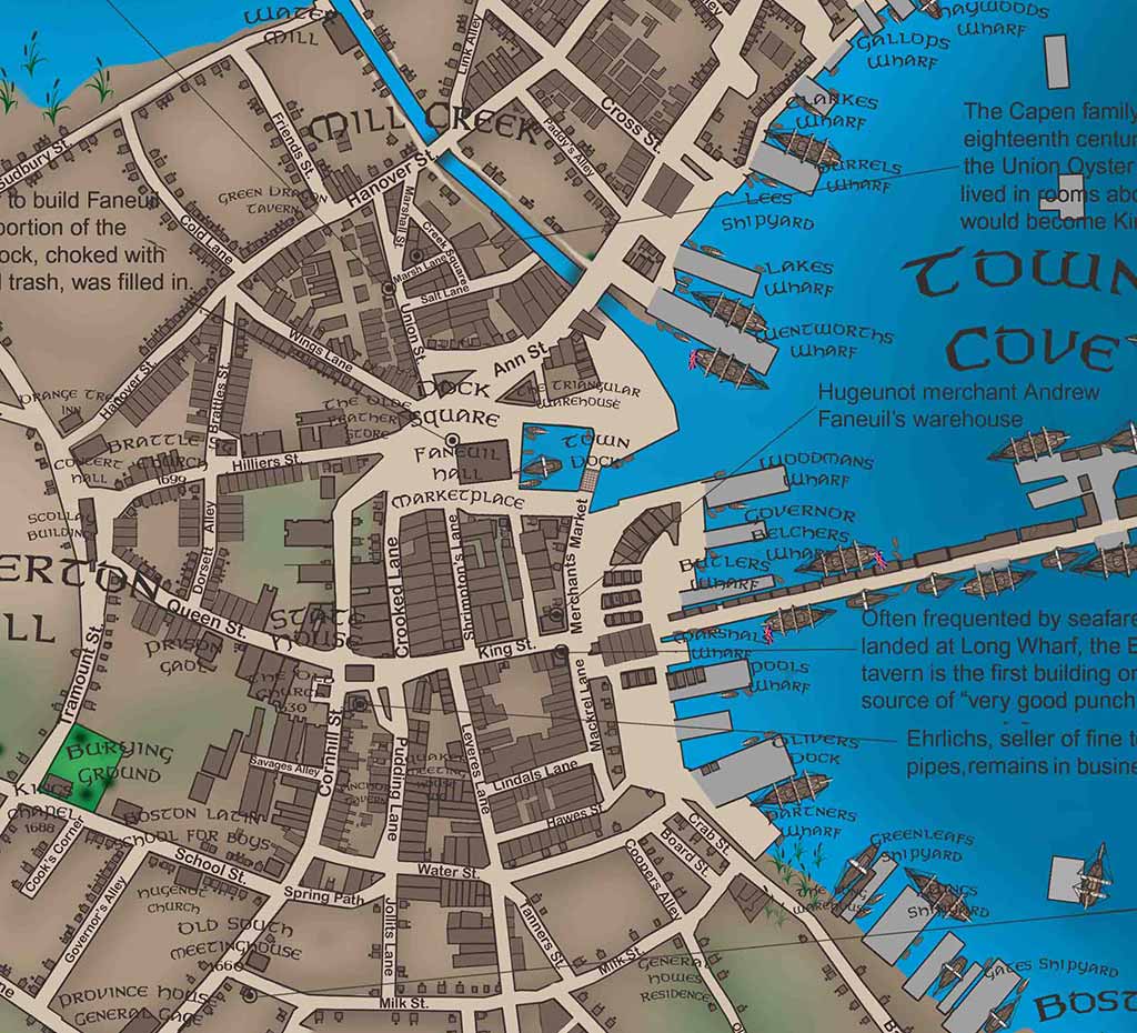
Close-up detail of the Boston 1776 historical map
Boston
1776

Downtown Through History • III

Boston 1776

Revolutionary Boston: patriot activity, British fortifications, the siege, and the geography of a city at the center of independence.

CollectionDowntown Through History
Edition / eraDowntown series
Print formatSeries print
OrientationLandscape

$125 Shipping: $25 · Massachusetts sales tax: 6.25% where applicable

View map details

Interactive map room

Explore the map in detail.

Use the zoom controls, mouse wheel, or trackpad to inspect the map. Once zoomed, drag the image to move around the page.

Boston 1776 Interactive map viewer
100%
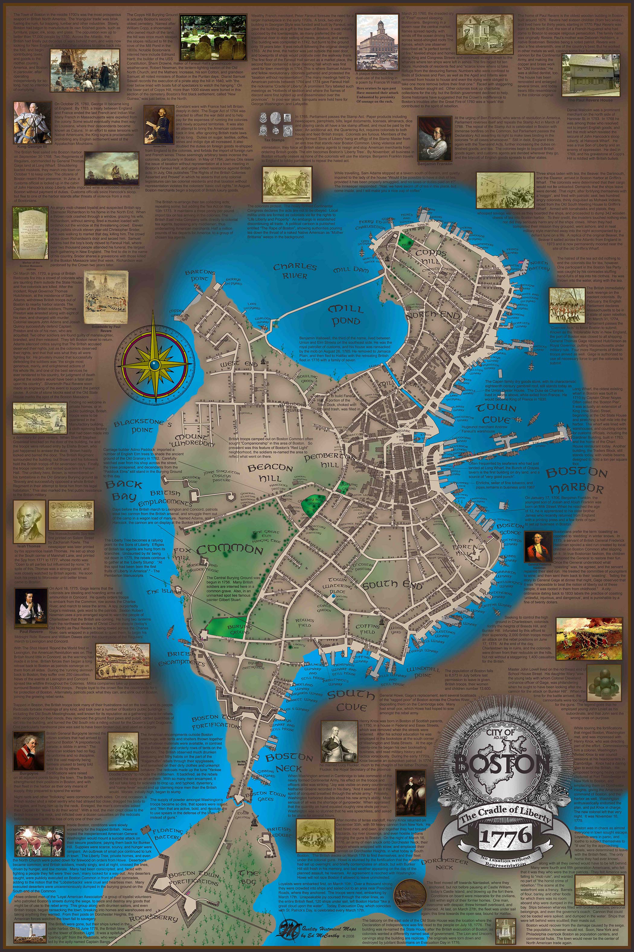
Full map view of Boston 1776
Scroll or use +/− to zoomDrag to pan after zooming

High-resolution detail

Study the lettering, illustrations, and historical notes up close.

This enlarged section shows the fine detail, image work, annotations, and hand-drawn character of the finished map.

Open high-resolution detail ↗

The story on the map

A closer look at Boston in 1776.

The 1776 plate places the viewer inside Revolutionary Boston. The map follows the routes and places associated with patriot activity, British defenses, the siege of the city, and the military problem that eventually required Henry Knox’s artillery.

Downtown Boston Through History