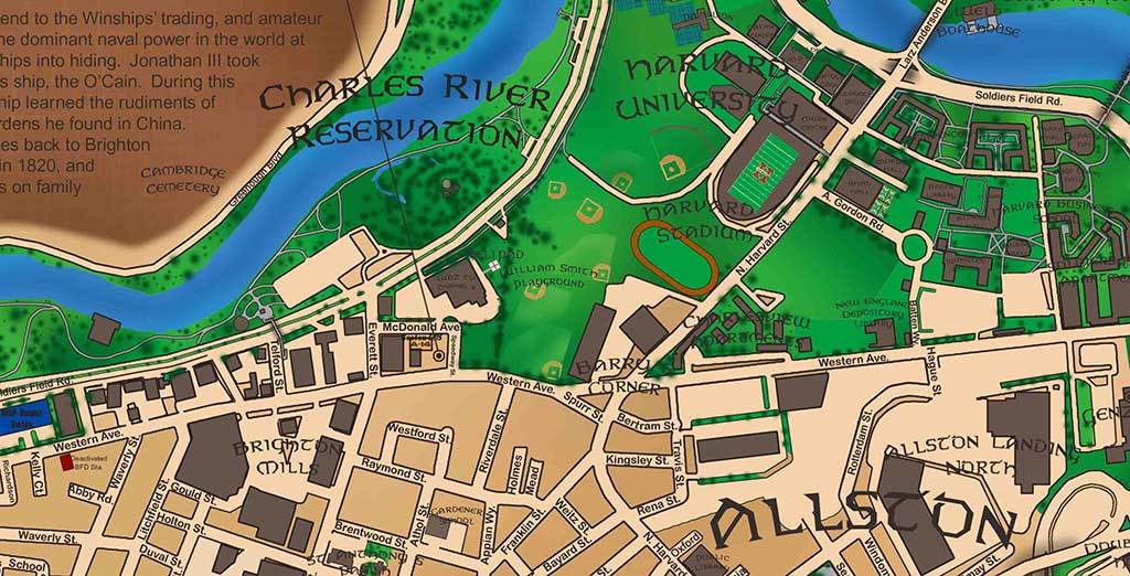
Close-up detail of the Allston / Brighton 2008 historical map
Allston / Brighton
2008

Neighborhood Atlas

Allston / Brighton 2008

From “Little Cambridge” to cattle country, industry, Allston’s emergence, and the institutions that frame the neighborhood today.

CollectionNeighborhoods
Edition / era2008
Print format36 × 24 in
OrientationLandscape

$125 Shipping: $25 · Massachusetts sales tax: 6.25% where applicable

View map details

Interactive map room

Explore the map in detail.

Use the zoom controls, mouse wheel, or trackpad to inspect the map. Once zoomed, drag the image to move around the page.

Allston / Brighton 2008 Interactive map viewer
100%
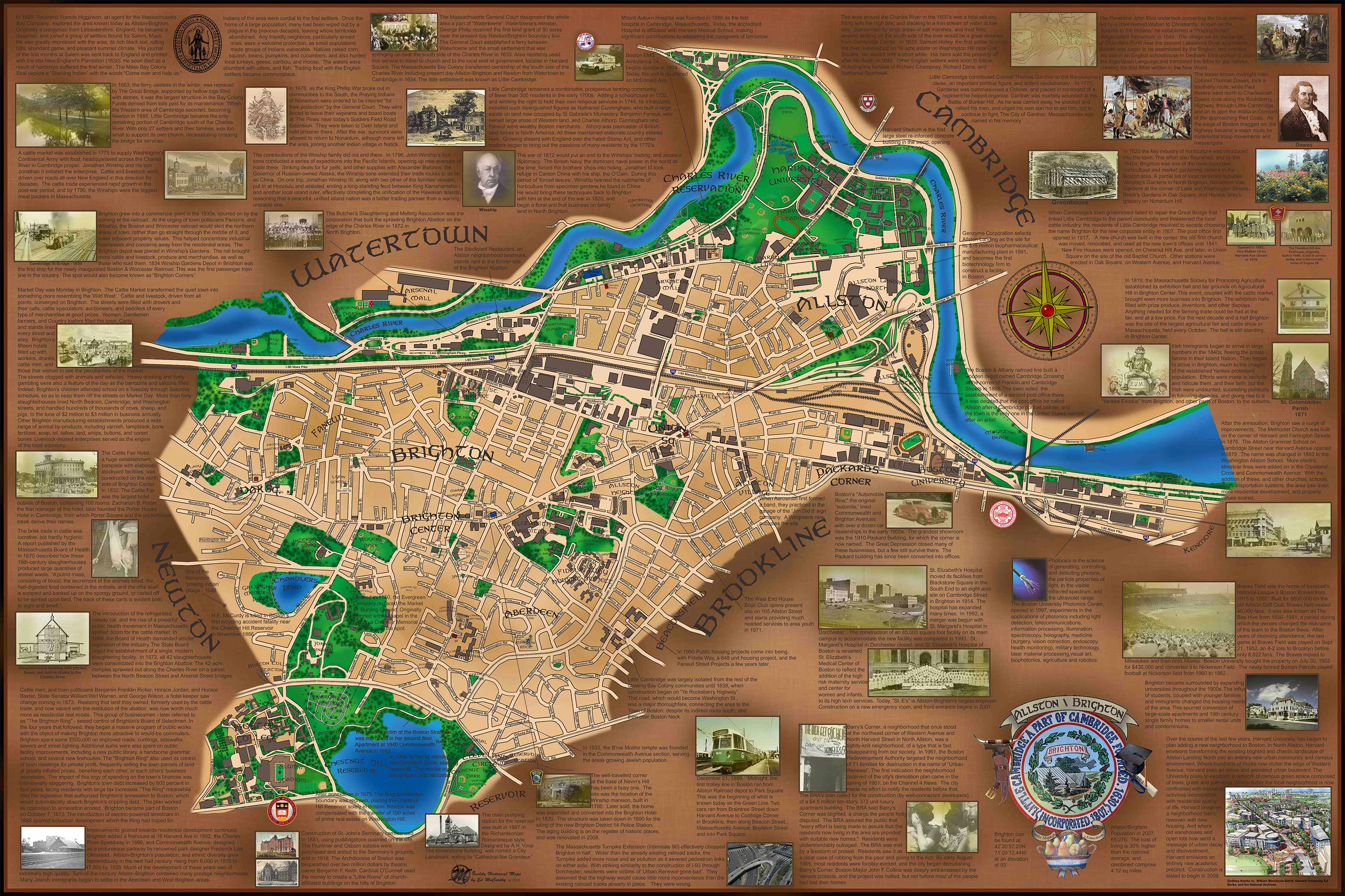
Full map view of Allston / Brighton 2008
Scroll or use +/− to zoomDrag to pan after zooming

High-resolution detail

Study the lettering, illustrations, and historical notes up close.

This enlarged section shows the fine detail, image work, annotations, and hand-drawn character of the finished map.

Open high-resolution detail ↗

The story on the map

A closer look at Allston / Brighton.

This map follows Allston and Brighton from a quiet agricultural community into one of Boston’s busiest western neighborhoods. The historical narrative emphasizes the cattle trade and stockyards, the growth of local industry, the development of Allston as its own identity, and the major universities and institutions that now border the area.