The story on the map
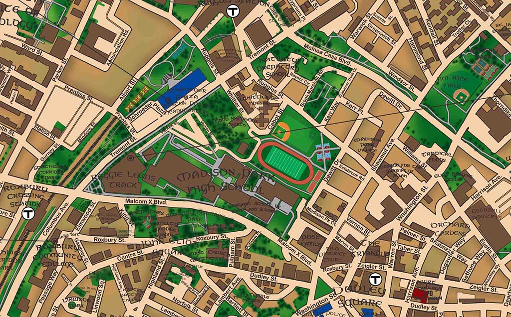
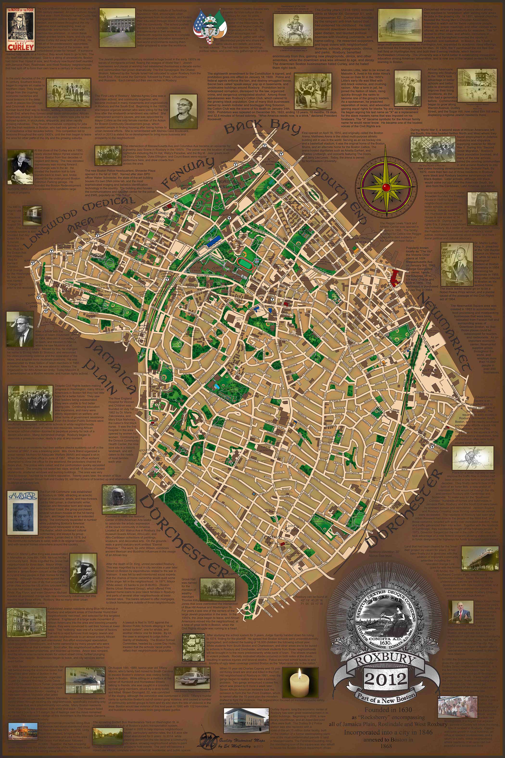
A closer look at Roxbury in 2012.
The 2012 map continues where the historical Roxbury plate leaves off. Former farmland becomes dense residential blocks, waterways disappear or are filled, and industrial and demographic changes reshape the neighborhood. The pair is designed to reward side-by-side comparison.
Companion map
Roxbury 1852The first half of Roxbury’s two-map story: early settlement, farmland, population change, religion, and the beginnings of industrialization.