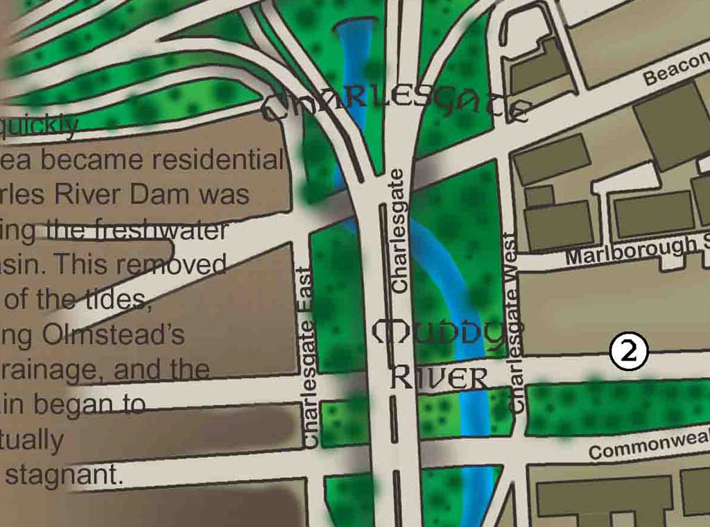
Close-up detail of the Back Bay 2008 historical map
Back Bay
2008

Neighborhood Atlas

Back Bay 2008

A look at the bay that became a neighborhood: filling projects, the street grid, parks, institutions, and the evolution of one of Boston’s best-known districts.

CollectionNeighborhoods
Edition / era2008
Print format36 × 24 in
OrientationLandscape

$125 Shipping: $25 · Massachusetts sales tax: 6.25% where applicable

View map details

Interactive map room

Explore the map in detail.

Use the zoom controls, mouse wheel, or trackpad to inspect the map. Once zoomed, drag the image to move around the page.

Back Bay 2008 Interactive map viewer
100%
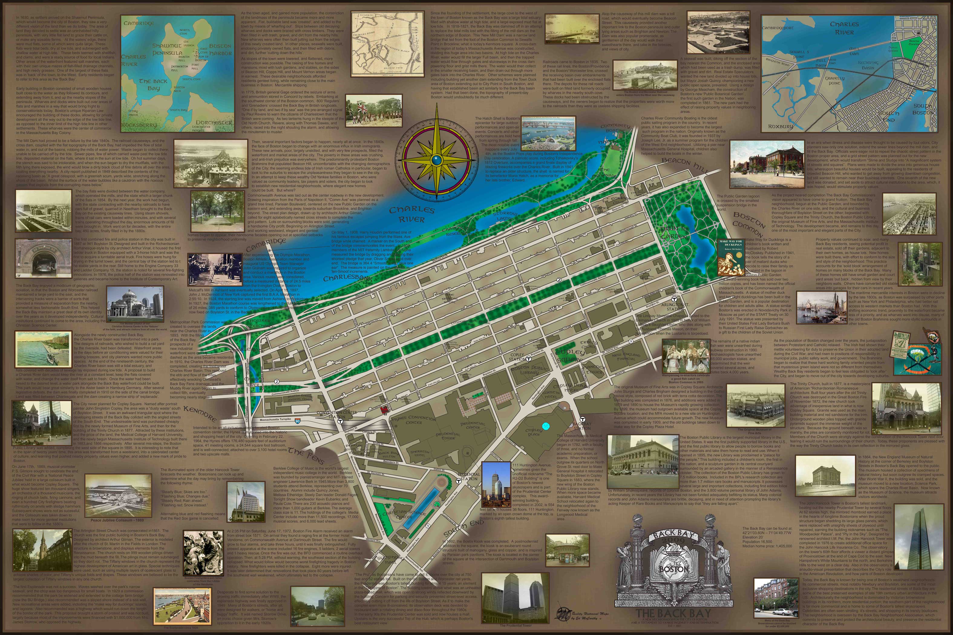
Full map view of Back Bay 2008
Scroll or use +/− to zoomDrag to pan after zooming

High-resolution detail

Study the lettering, illustrations, and historical notes up close.

This enlarged section shows the fine detail, image work, annotations, and hand-drawn character of the finished map.

Open high-resolution detail ↗

The story on the map

A closer look at Back Bay.

The Back Bay map treats the neighborhood as a landscape created as much by engineering as architecture. It traces the former tidal basin, the filling of the area, the logic of the nineteenth-century street plan, and landmarks including the Public Garden, Commonwealth Mall, Copley Square, and the Christian Science Center.