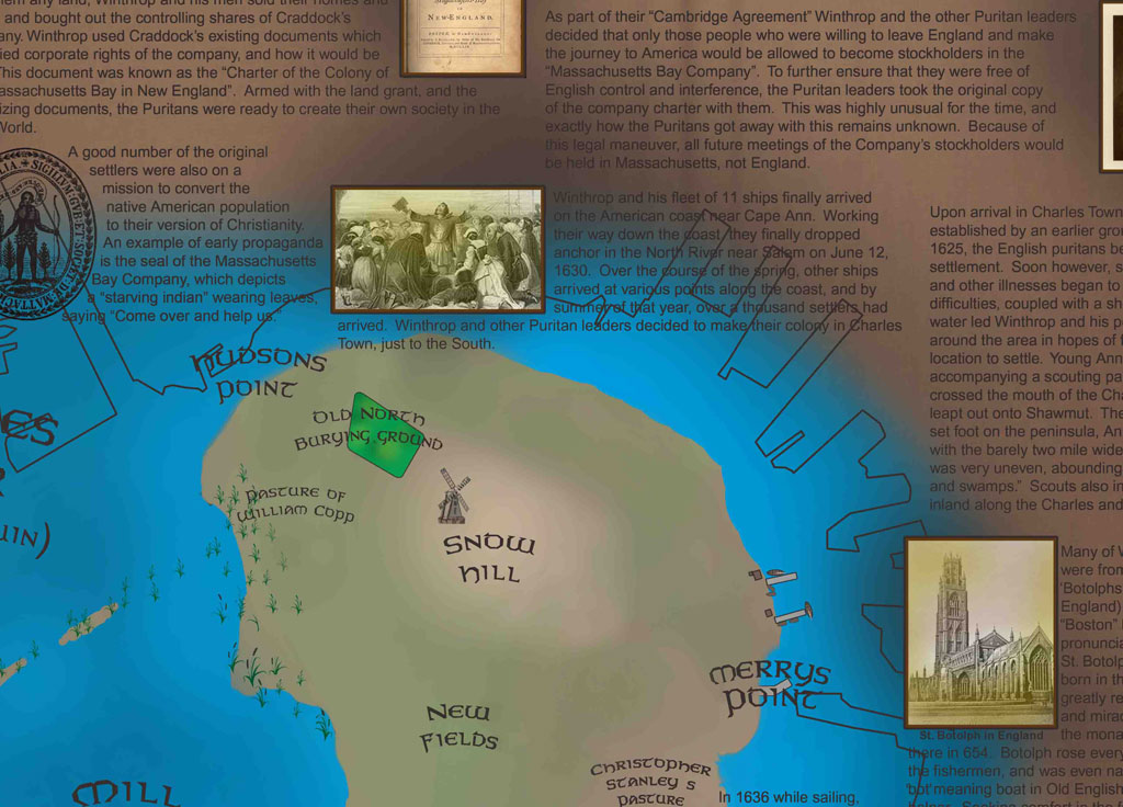
Close-up detail of the Boston 1630 historical map
Boston
1630

Downtown Through History • I

Boston 1630

Boston at the founding of the colony: the early peninsula, harbor, Great Spring, Beacon Hill, and the first decades of settlement.

CollectionDowntown Through History
Edition / eraDowntown series
Print formatSeries print
OrientationLandscape

$125 Shipping: $25 · Massachusetts sales tax: 6.25% where applicable

View map details

Interactive map room

Explore the map in detail.

Use the zoom controls, mouse wheel, or trackpad to inspect the map. Once zoomed, drag the image to move around the page.

Boston 1630 Interactive map viewer
100%
Full map view of Boston 1630
Scroll or use +/− to zoomDrag to pan after zooming

High-resolution detail

Study the lettering, illustrations, and historical notes up close.

This enlarged section shows the fine detail, image work, annotations, and hand-drawn character of the finished map.

Open high-resolution detail ↗

The story on the map

A closer look at Boston in 1630.

The opening plate in the Downtown Boston Through History series focuses on the colony’s earliest years. It traces the new settlement on the peninsula and identifies early landmarks, resources, and details that explain how the first Boston took shape.

Downtown Boston Through History